Climate change comes with a human toll.
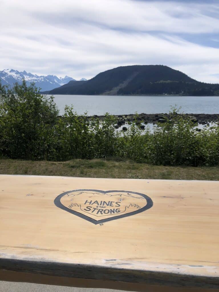
The Southeast Alaska communities of Sitka, Haines, Wrangell and Ketchikan know that firsthand, each suffering a fatal landslide over the past decade.
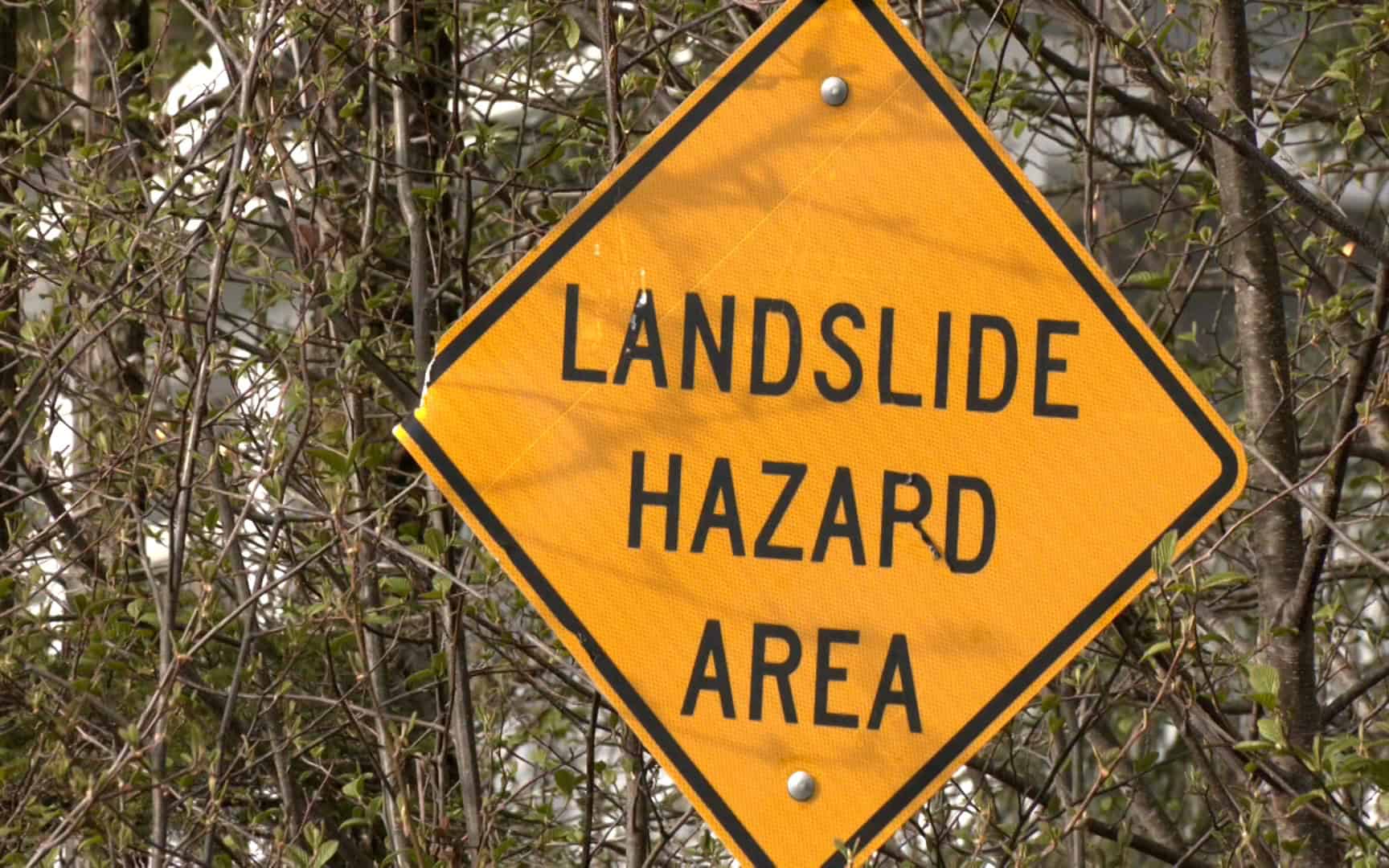
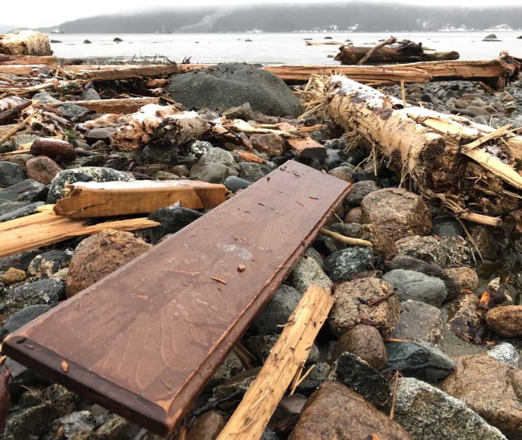
In Sitka, the neighborhood on Kramer Avenue is dotted with bright yellow signs alerting people to the landslide hazards and piles of downed trees remain from the 2015 landslide that killed three people.
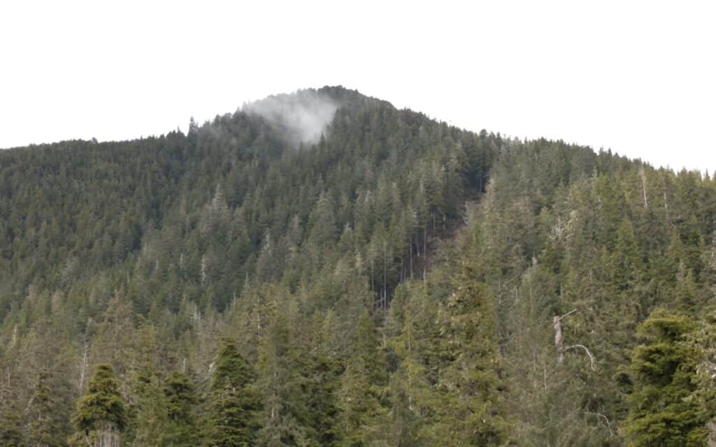
“Those scars remain on the landscape for decades and it’s a visible reminder every day of the impacts to human life,” said Lauren Bell, the Research Director at the Sitka Sound Science Center.
In response to that event, the Sitka Sound Science Center developed a landslide risk dashboard based on rainfall data to create a risk assessment plan other communities can use as climate change drives more “atmospheric river” events that bring in more rain over shorter periods of time.
“It’s arming people with the tools to adapt to what those changes are whether it’s landslides, changing sediment flow, flooding or ocean acidification. The science is out there, the oral history, the knowledge, it’s just putting it together to think about how we can adapt in the future,” Bell said.
Tlingit & Haida has partnered with the Sitka Sound Science Center on that effort with the Kutí project that aims to expand natural hazard monitoring and warning systems throughout Southeast. The five-year, $5 million project is funded by the National Science Foundation; Kutí is the Lingít word for weather.
Staff from the Tribe’s Environmental team put monitoring equipment in possible areas of impact to measure rainfall and will use that data to mitigate and education the public about potential landslides.
“The goal is trying to find predictable measurements to ensure we can get people to safety in an area that might be of concern. As we build on this, we want to build out the capacity of the tribes so they can monitor the equipment and be their own advocates,” said Tlingit & Haida Environmental Director Ray Paddock.
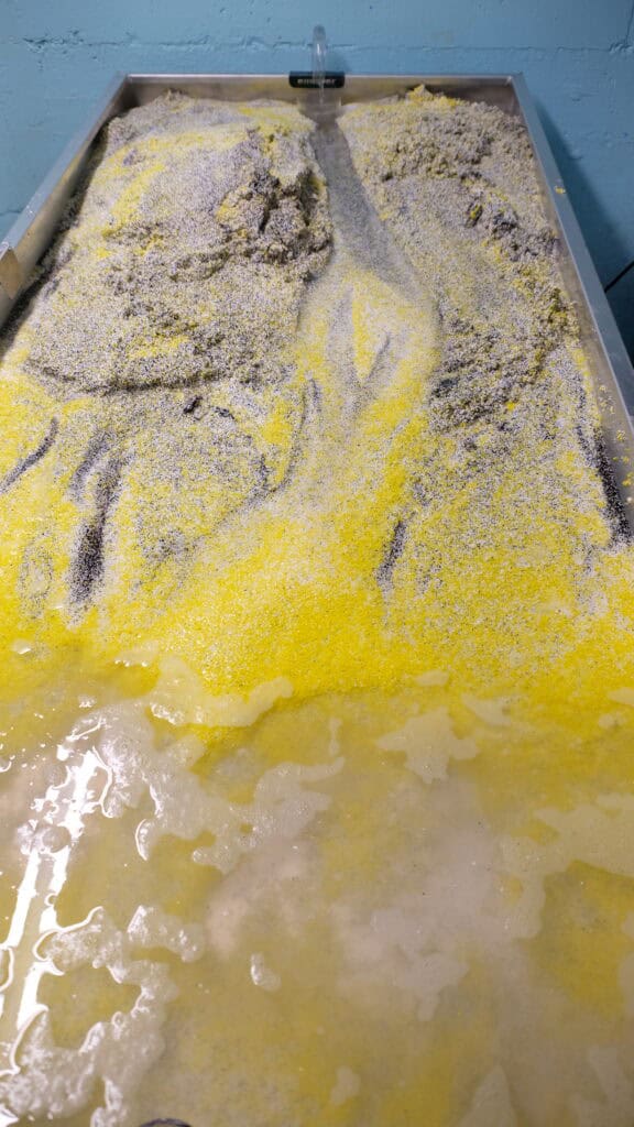
Another tool the Sitka Sound Science Center has is a water table that demonstrates flow rate on different types of sediment. During the Sustainable Southeast Partnership retreat in Sitka, breakout groups toured the center to see the water table firsthand; they built up the steam bed, added trees and log jams and adjusted the velocity of the water to create geohazard scenarios.
Paddock said it’s a useful tool as his environmental team looks at the impacts of climate change in Southeast Alaska.
“It helps us see what would happen if we were to increase that water flow instead of having to live through, it which many of us are having to do in Juneau on the Mendenhall River. This kind of model would give us better mitigation efforts and better education and outreach,” Paddock said.
Tlingit & Haida is working with the City and Borough of Juneau and the USDA Forest Service on a flood study of the Mendenhall River as the Suicide Basin glacial ice dam becomes an ongoing issue every summer.
“Coming together and working together to make sure we’re meeting needs of the communities is important right now. We in Southeast Alaska are very limited in our resources and our capacity. We need to be working together to address these issues,” Paddock said.
The Kutí project is a partnership that includes Tlingit & Haida, tribal representatives from Sitka, Yakutat, Klukwan, Craig, Skagway, Hoonah, and Kasaan, RAND Corporation, University of Oregon, Oregon State University, Scripps Institution of Oceanography, Sitka Tribe of Alaska, USDA Forest Service; National Weather Service, Alaska Division of Geology and Geophysical Services, and U.S Geologic Survey.